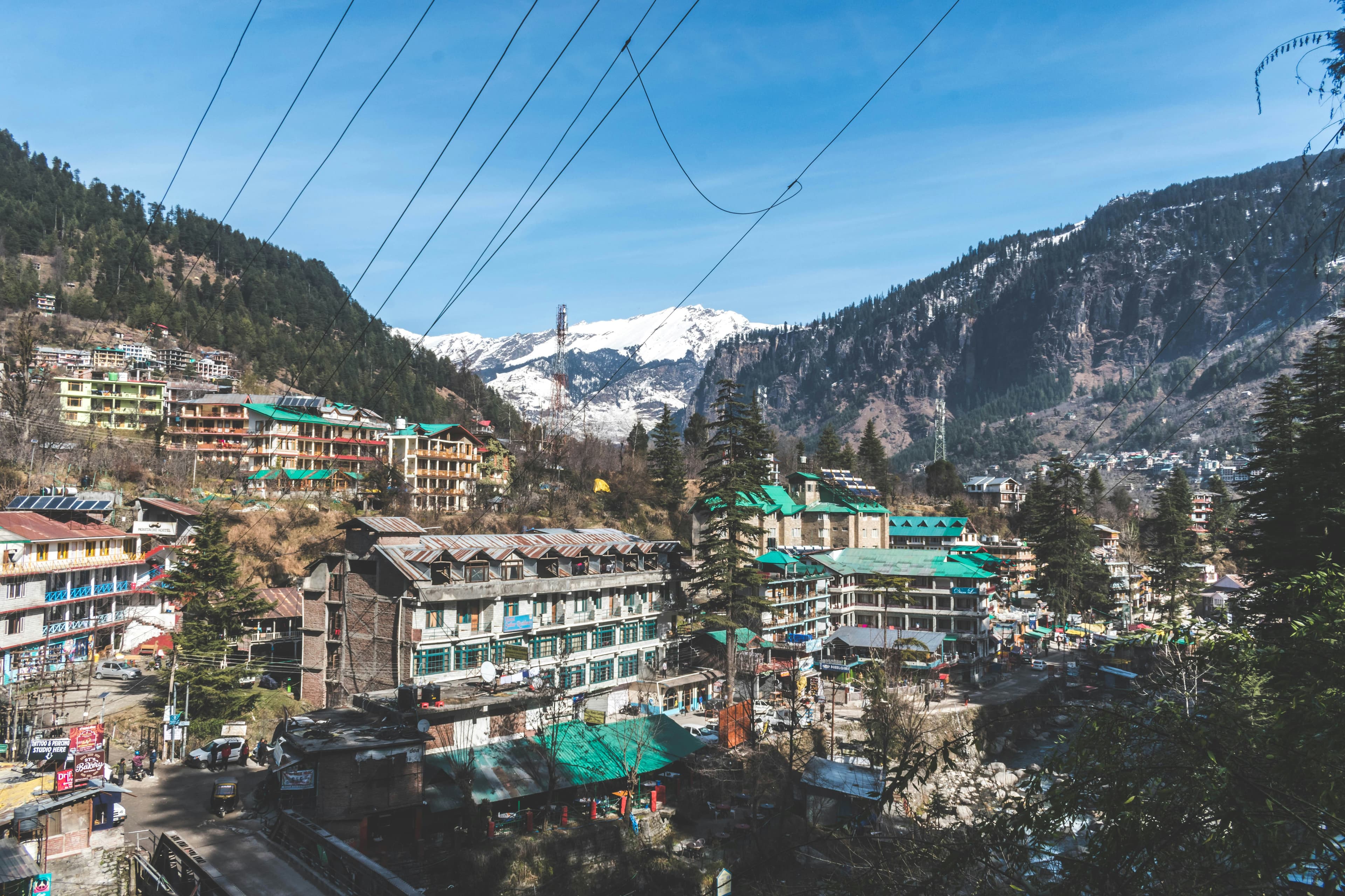
Himalayan river basins are among the most hydraulically complex environments on earth. Steep channel gradients, high sediment concentrations, and extreme monsoon variability combine to create conditions that standard HEC-RAS defaults simply weren't designed for.
Why Standard Defaults Fail in Himalayan Conditions
Most HEC-RAS tutorials reference low-gradient alluvial rivers — think Mississippi tributaries or the Thames. Manning's roughness coefficients, energy slope assumptions and critical flow handling all need recalibration when you're working at 1,500–3,000m elevation with channel slopes of 1–5%.
Key Insight
In our experience, using a blanket Manning's n of 0.04 for cobble-bed Himalayan channels can underestimate peak discharge by 15–30%. Field-calibrate against gauge records wherever possible.
Our 5-Step Modelling Workflow
- 1Acquire SRTM 30m DEM and co-register with 1:25,000 Survey of India topo sheets
- 2Delineate watershed using QGIS terrain analysis — verify against field-observed drainage divides
- 3Import cross-sections from field survey or extracted from DEM at 100–500m intervals depending on channel sinuosity
- 4Run HEC-HMS to generate design flood hydrographs (100-year, 500-year return periods)
- 5Route hydrograph through HEC-RAS steady + unsteady flow simulations and map inundation extents in QGIS
HEC-RAS in Himalayan terrain rewards careful calibration and healthy scepticism of default settings. When in doubt, go back to the field — there is no substitute for observed flood marks and local knowledge from riverside communities.
Tags
Er. Vikram Nanda
Senior Hydrologist
Over 20 years of hydrological modelling experience across Himachal Pradesh and Uttarakhand. Specialises in flood risk assessment and dam safety studies.